File:Huntingdonshire Brit Isles Sect 5.svg.png
Jump to navigation
Jump to search

Size of this preview: 651 × 599 pixels. Other resolutions: 261 × 240 pixels | 653 × 601 pixels.

Original file (653 × 601 pixels, file size: 106 kilobytes, MIME type: image/png)
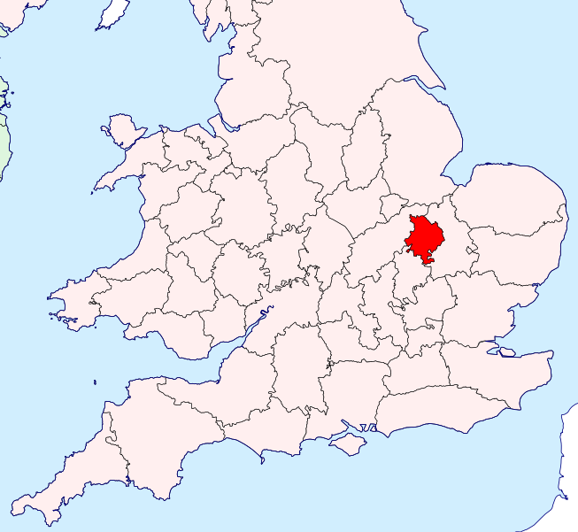
Description: Huntingdonshire location map
Source: https://commons.wikimedia.org/wiki/File:Huntingdonshire_Brit_Isles_Sect_5.svg

Public domain
This work is avaliable in the Public Domain and hence is free for use without restrictions on this site.
File history
Click on a date/time to view the file as it appeared at that time.
| Date/Time | Thumbnail | Dimensions | User | Comment | |
|---|---|---|---|---|---|
| current | 11:52, April 5, 2025 | | 653 × 601 (106 kilobytes) | Joeylad (talk | contribs) | Description: Huntingdonshire location map Source: https://commons.wikimedia.org/wiki/File:Huntingdonshire_Brit_Isles_Sect_5.svg Public domain {{publicdomain}} Category:United Kingdom |
You cannot overwrite this file.
File usage
The following page uses this file:
